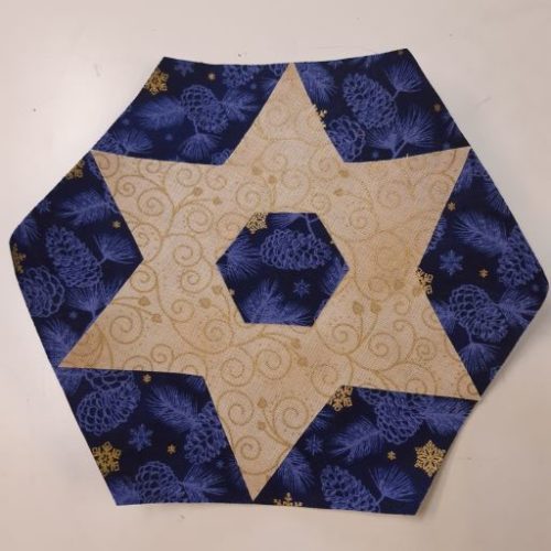
Easy-peasy way to make this great traditional design. This is the Tri-Recs way – oh sew simple!
Description
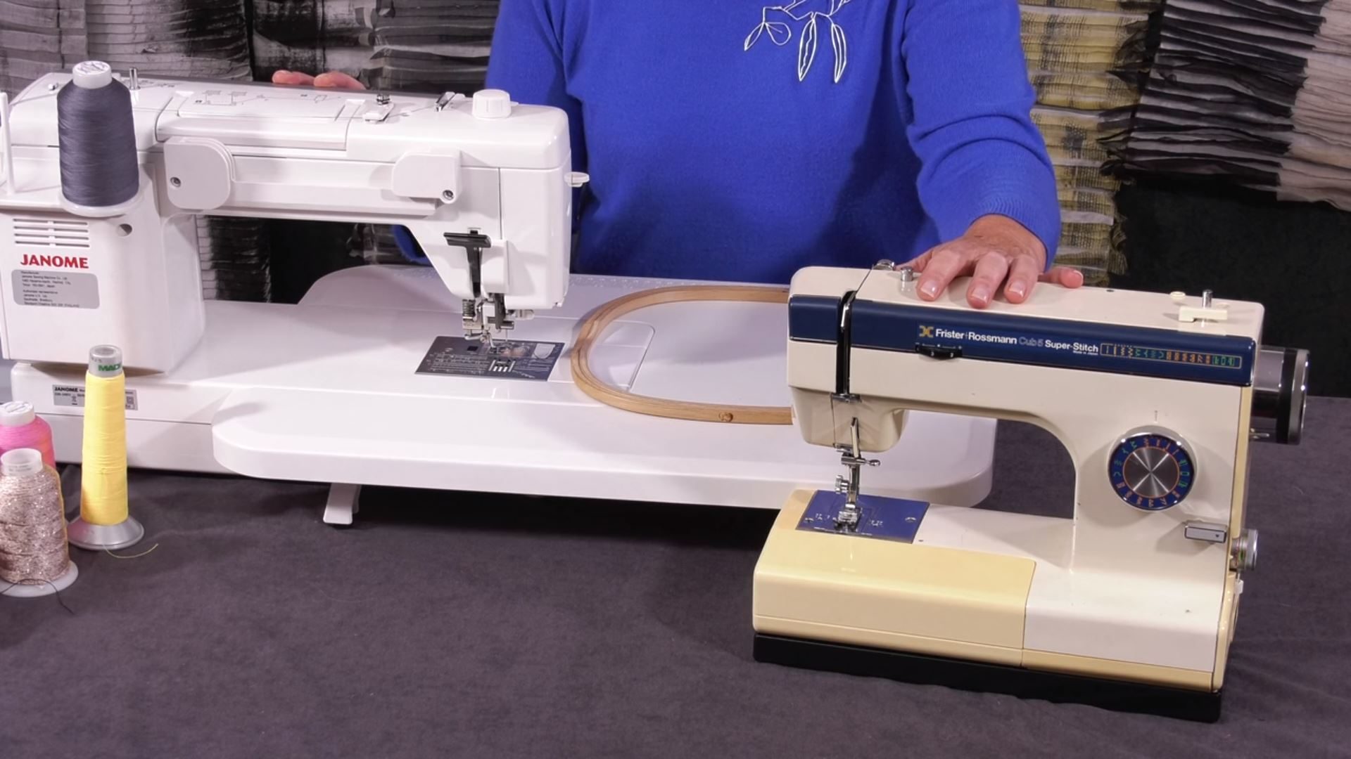
The Tri Recs Tools is not essential, but it does make the patchwork much quicker, easier, and more accurate.
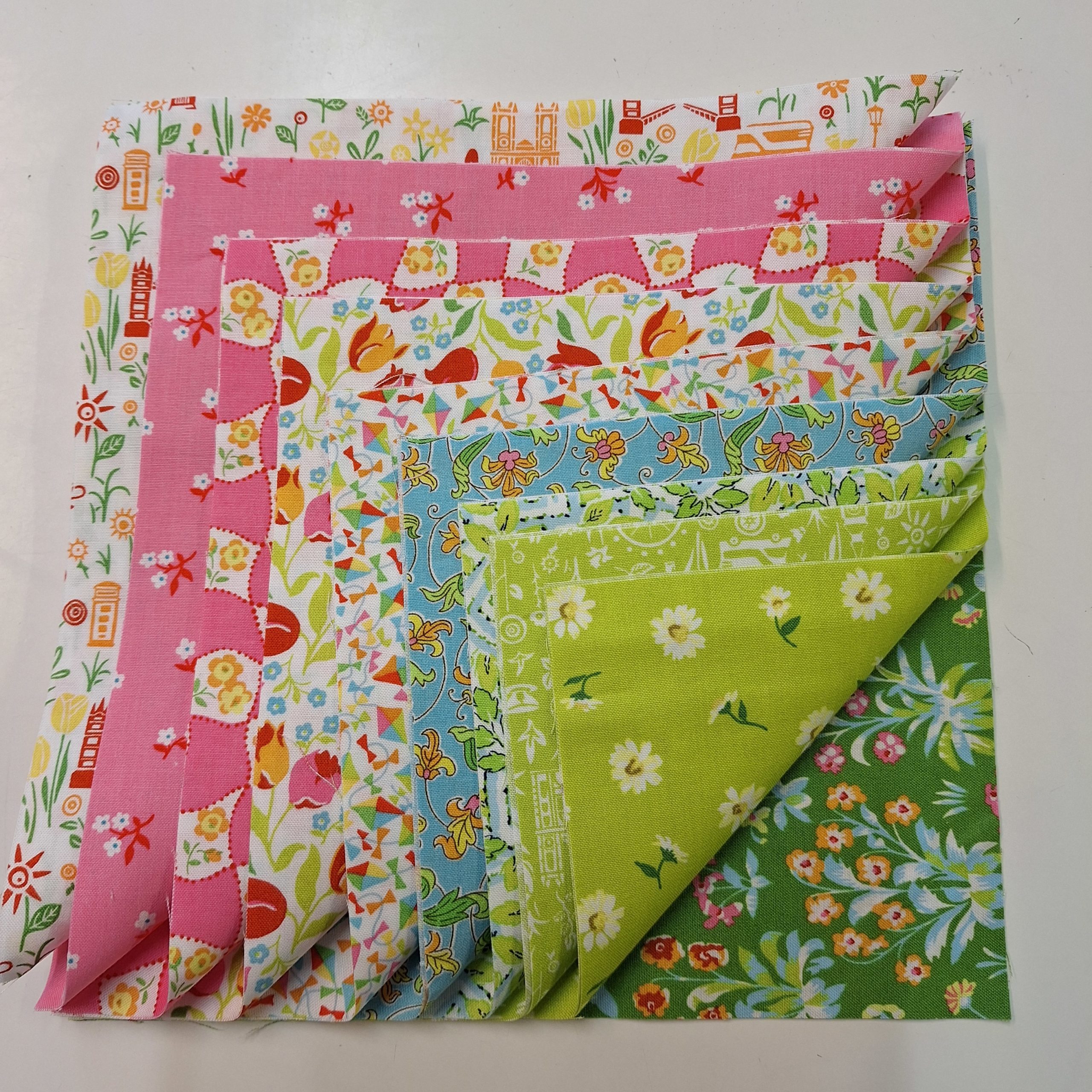
Some ideas contained in the books which we thought you might like to see:
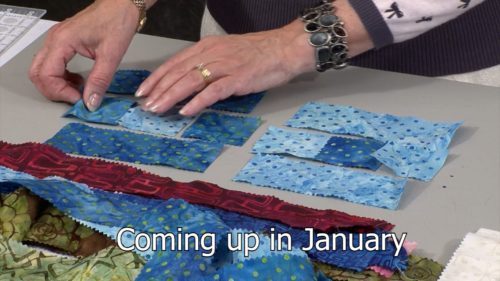
Featured in January, the first quilt comes from Quilts from Lavender Hill Farm
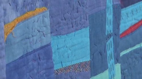
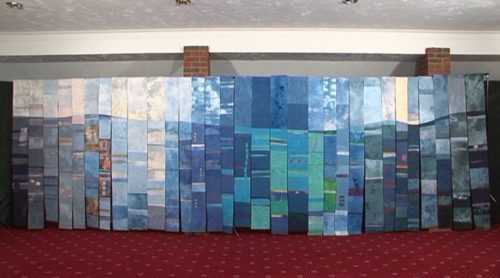
from Ginnie’s Patchwork Exercise Book II.
For those who want the story behind the design…
AND a big apology – I got the name wrong … You can’t get the staff these days!
Fifty-Four Forty or Fight!
The Development of the Boundary Between the U.S. and Canada
In 1818, the United States and the United Kingdom established a joint claim over the Oregon Territory, controlling British Canada. The region is west of the Rocky Mountains and between 42° North and 54°40′ North, the southern boundary of Russia’s Alaska territory.
Joint control worked for over a decade, but ultimately, the parties decided that joint occupancy wasn’t working well, so they divided Oregon.
The 1844 Democratic presidential candidate James K. Polk ran on a platform of taking control over the entire Oregon Territory and used the famous campaign slogan, “Fifty-four Forty or Fight!” After the line of latitude serving as the northern boundary of Oregon at 54°40′. Polk planned to claim and go to war over the entire territory for the United States.
Polk won the election with a popular vote of 1,337,243 to Henry Clay’s 1,299,068. The electoral vote yielded Polk 170 votes vs. 105 for Clay.
After Polk’s inauguration and negotiations with the British. The boundary between the U.S. and as a result of the Treaty of Oregon, British Canada was established at 49° . The exception to the 49th parallel boundary is that it turns south in the channel separating Vancouver Island from the mainland and then turns south and then west through the Juan de Fuca Strait. The maritime restrictions on this border were not official until 1872.
The 54/40 boundary line for the Oregon Territory forms the northern boundary of the state of Washington and the southern edge of Canada. Oregon is directly south of Washington. Likewise, the border between the two states is the Columbia River.
Quick Links
classes with Jennie Rayment | equipment | Jennie Rayment | quilt | quilting | quilting intermediate | quilting tutorial | quilting video tutorial | tutorial with Jennie Rayment(You can use Quick Links, which are also on the left hand side of most pages, to find more content on specfic themes.)
About the Tutor

Jennie is a world renown quilt teacher, lecturer, author of nine quilt books and numerous patterns. From Houston to Qatar, Durban to Melbourne, Auckland and many other international cities, Jennie has wowed them all with her superb teaching style and hilarious lectures all laced with wit, charm and professional expertise.

Reviews
There are no reviews yet.